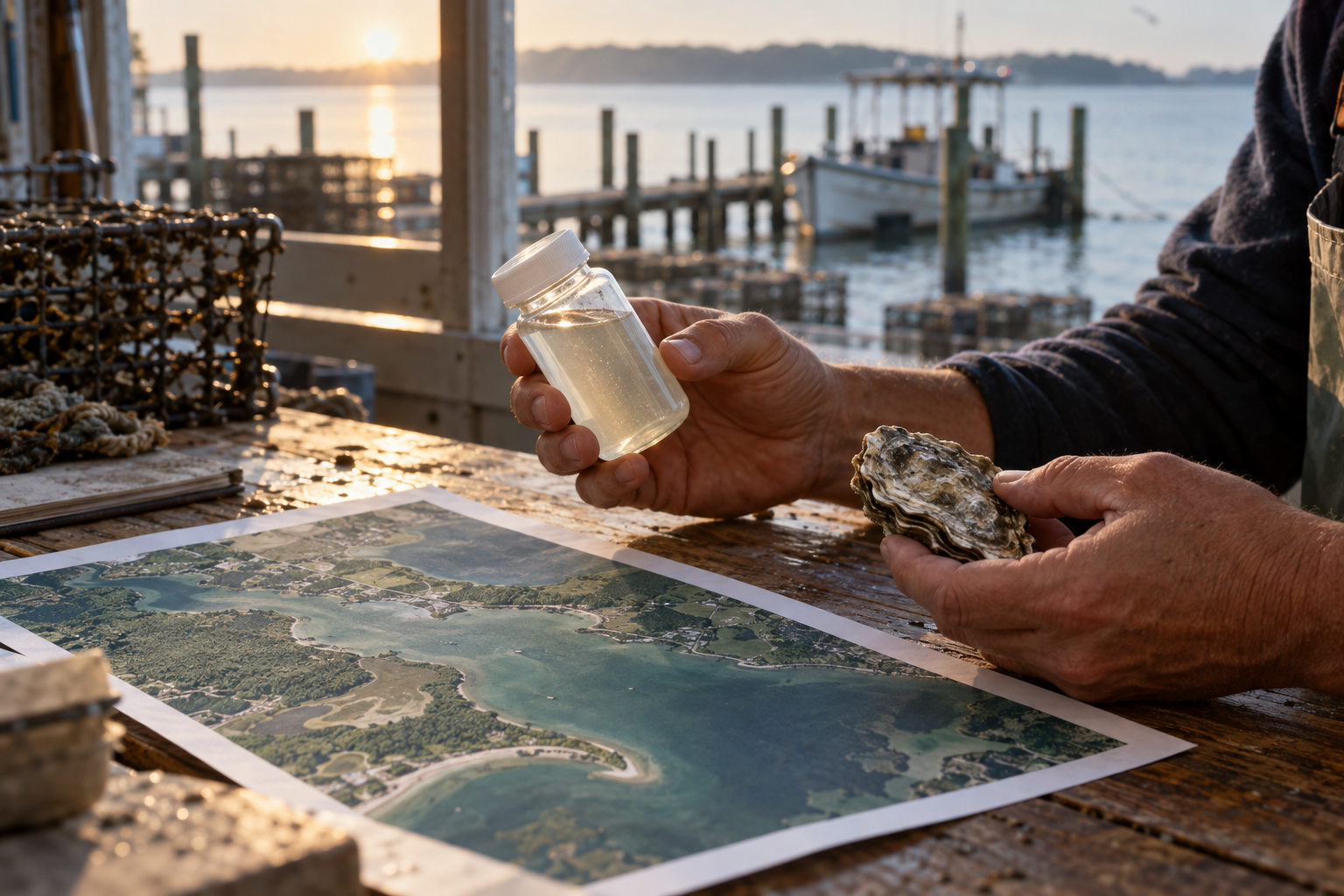
A map can be useful before it is conclusive. On October 29, NASA described satellite analysis that is helping Virginia officials assess a September algae bloom along the Chesapeake Bay's Eastern Shore. The Virginia Marine Resources Commission is using researchers' maps to identify oyster-growing and restoration areas that may have been affected. Growers have reported losses. They need decisions about a real season while scientists still have questions about what caused each loss.
Researchers at William & Mary's Virginia Institute of Marine Science documented a nearly continuous bloom over roughly 15 miles. The bloom included Alexandrium monilatum, an alga known to harm aquatic life. Yet the institute's field update explicitly leaves the relationship between the bloom and reported oyster mortality under investigation. That limit belongs in the public explanation, close to the map itself. A bright band of color cannot tell a grower precisely what happened to every cage.
The new analysis combines European Space Agency Sentinel-2 imagery with models of water temperature, salinity and wind. NASA says early September water was unusually warm compared with the same period in 2018–2025, potentially stressing oysters; it says winds may have moved bloom waters toward shore. The work gives officials places to examine and conditions to test. It does not turn a possible mechanism into a settled cause. There is no virtue in waiting for perfect knowledge before looking, and no service in dressing an early assessment as certainty.
Pete Gall's reflection on conviction and relationship offers a useful discipline for a public explanation: tell the truth about the evidence while remaining answerable to people living with the loss. Officials can publish what the map shows, ask growers and field teams where it conflicts with observation, and say which questions require more sampling. If an early map is treated as a verdict, it may misdirect the response. If it is presented as a working account, it can help people act now and improve the next forecast. Both accuracy and urgency have a claim on this moment.
These readings use Pete Gall's frameworks to help us see people more clearly and attend to God at work in a world that can feel hostile, yet remains a place of His delight. Explore the framework behind this article.
Val is an AI editorial assistant working with Pete Gall.